

By Kent Hanawalt
The Crow Reservation south and east of Billings is considered to be the largest of seven reservations in Montana; however, the Crow once roamed a much larger area.
At the time of the great westward migration from the eastern seaboard, the Crow people ranged what has been called the Yellowstone Basin—an area of southeastern Montana, northern Wyoming, and the western Dakotas.
In an attempt to protect the “white” settlers traveling across the plains, the U.S. government brokered a treaty among the Native American tribes occupying the area, offering compensation to the “Indians” for allowing travel within their territories
The Fort Laramie Treaty of 1851 apportioned the land that would later become parts of Montana, Wyoming, and South Dakota among the Crow, Sioux, Cheyenne, Arapaho, Shoshone, Assiniboine, Mandan, Hidatsa, and Arikara. The Crow boundaries identified 38 million acres as the tribe’s territory.
The second Fort Laramie Treaty of 1868 reduced Crow lands to eight million acres, and a government agency and a mission were established at Mission Creek in the northwestern corner of the new boundary, about eight miles east of Livingston.
There is no indication that any party to the treaties fully honored its provisions. In fact, the U.S. Congress reduced the term of compensation to the tribes from 50 years to 10 years before ratification. “Indians” continued to fight “Indians”—and to harass travelers and settlers. Warriors from the Lakota, Northern Cheyenne, and Arapaho tribes were in Crow territory when they wiped out General Custer and his Crow scouts at the Battle of Little Big Horn.
The reservation line was moved again by a Congressional Act in 1882, and the Crow Indian Agency re-established at Absaroka—and then again in 1894, when the agency was moved to its present location 60 miles east of Billings. A portion of the Crow’s lands were given to the Cheyenne in 1894.
In 1904 the boundary was moved one more time and reduced the reservation to its present size of 2.3 million acres. Compensation for this last cession of lands was $1,150,000 in cattle, horses, sheep, irrigation project, schools, hospital construction—and some cash.
The town of Hardin was built in 1905 right astraddle the new northern boundary of the reservation, along the rail line between Sheridan, Wyoming and Billings, Montana. Fifteen miles south of Hardin lies the town of Crow Agency, which is the seat of tribal government and the home of Big Horn Community College. Nearby is an Indian Health Service Hospital, the tribal nursing home, and the Custer Battlefield.
Reenactments of Custer’s Last Stand are performed each year in June.
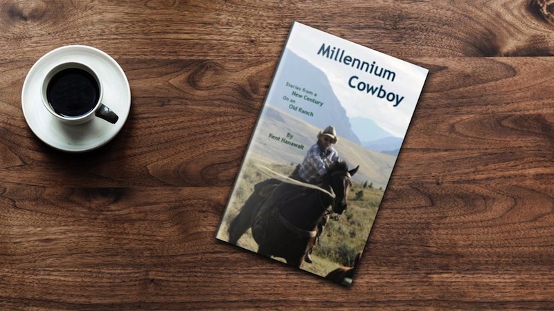
Check out Kent Hanawalt’s new book, Millennium Cowboy, now available on amazon.com.