


Article & Photos by J.B. Chandler
Looking both directions, heading southeast from Big Sandy, lie some of the best croplands in Montana. Flat and fertile, a new highway drives us 10 miles further into this prime farming country. We can expect to see tractors, trucks, and cattle trailers, like most county roads in Montana, but along this stretch of Judith Landing road we will also pass RVs, a 5th wheel, and a few van caravans transporting canoes and kayaks. That’s because this is the Missouri River Breaks country.
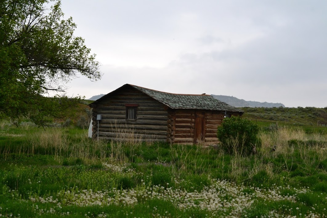
Between Big Sandy and Winifred, on Highway 236, is the only bridge for one hundred miles in either direction. The bridge at Judith Landing is a popular take in/out point for boaters seeking the sites of Lewis and Clark along the Upper Missouri River Breaks (UMRB). Driving to Judith Landing is easy enough, and dramatic, though it’s a ways to drive on a mostly gravel road. My advice is to grab some snacks or a bite in Big Sandy and gas up. Fortunately, the poorly graveled road has been well worn by RVs and boaters, but if it is wet, avoid this road of gumbo. All that remains is a ghostly school house, but after we pass the old townsite of Iliad, the drop-off to the Missouri is severe and breathtaking. Even on the misty, rainy day when we drive through, we can see the jaggedly sculpted coulees and hills, and the islands of farmland atop them. Even the smallest creek has cut a deep ravine into this flatland, and with the tops of these hills being flat and fertile, a farmer would be foolish to not use this arable land. Getting to this land can be an adventure unto itself, with roads riding along the edge of the Breaks.
Winifred might be the smallest tourist trap in Montana, and I mean that in a good way. Our bartender/waitress/cook at the Winifred Tavern asks us the two important questions: 1) How’s the roads? and 2) How’s the views? Okay and great are our answers. And their food is great too! A new hotel and steakhouse, the Winifred International Suites & 1028 Steakhouse, lies across the street. The prospect of Highway 238 being fully paved between Big Sandy and Winifred one day will certainly increase the tourism potential, as the season could begin earlier and go longer. From the spring runoff to the elk bugling season, wet roads should be the only thing that stops you from visiting this area.
Winifred is at the center of the Upper Missouri River Breaks country, and the best area to visit in a car is north of Winifred at the McClelland-Stafford ferry. Due to the overflowing Missouri, the ferry is closed the day we visit, but even then, we are granted so many beautiful badland photo ops. I admit to burning up my brakes coming down to the Missouri, so I understand why the farmer leaves his sprayer down by the river!
Now remember, the breadth of these badlands extends far beyond this area, into and including the Arrow Creek badlands north of Denton. Denton is a vibrant little town. A bank, a library, and a great place to eat at the Shady Tree Café. The rumor is that the two bars in Denton trade off weekends being open and closed, presumably, so they can explore the badlands right out their back door. The Judith River Overlook southeast of Denton, just south on North Danvers Road, is a detour worthy of pictures. But to visit the badlands is more difficult and more beautiful too.
Unlike the UMRB landmark, much of this land is private, so call ahead or knock on doors before you start hiking. The next difficulty, no surprise, comes with the roads. These rarely used roads often have only one landowner who drives them, so the roads are not well worn, and if wet are impassable. But it’s not far off the road that we are rewarded with amazing views. Views north overlook the Arrow Creek and the huge valley this small creek has created. Views west include Square Butte, but all the pictures show us the sturdy sandstone with tall fortress-like escarpments, riding along the ridges on both sides of the creek’s valley.
Understandably, these badland farmers use all the good land they can. In all these picturesque locations we find sprayers and tractors at work. We see the green plants sprouting right up along the steep cliffs that taper off quickly into the Breaks. Come harvest time, it must be harrowing being so close to disaster, but also amazing being able to see all the majesty of Montana from the seat of your tractor. The farmland in the Upper Missouri River Breaks region is agriculture on the edge of adventure.